 vesseltracker.com
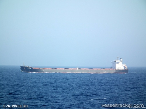
 Anglo Marimar
Current Status
Where is the vessel?
Anglo Marimar is currently in 296 nm S of Mawella, based on AIS data received less than 1h ago.
Latest AIS update:
Current position: 1.37380° N, 82.47380° E (296 nm S of Mawella)
Average speed (last 7 days): Loading…
Average speed (last 30 days): Loading…
Vessel profile: Anglo Marimar is a Bulk Carrier with dimensions 240m x 240m.
This page combines live AIS, route history, probable destination signals, nearby traffic, and port activity for practical vessel monitoring.
The current position of vessel Anglo Marimar is 1.37380 lat / 82.47380 lng. Updated: 2026-05-15 03:40:32 UTCNearest reference points:
- Open sea, approx. 400 nm off the nearest listed port
- Open sea, approx. 401 nm off the nearest listed port
- Open sea, approx. 405 nm off the nearest listed port
Currently sailing under the flag of United Kingdom ![]()
Anglo Marimar built in 2011 year
Deadweight:
98000 tDetails:
Live Vessel Anglo Marimar Analytics (details, animations, etc.)
Recent AIS points (UTC):
2026-05-14 21:52:00 UTC · 0.91522, 81.34609 · SOG 12.9 kn · COG 55°2026-05-14 22:50:51 UTC · 0.99707, 81.53466 · SOG 12.4 kn · COG 55°
2026-05-15 00:05:21 UTC · 1.09902, 81.77459 · SOG 12.5 kn · COG 55°
2026-05-15 03:40:32 UTC · 1.37380, 82.47380 · SOG 12.3 kn · COG 61°