 vesseltracker.com
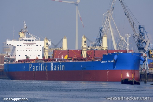
 LIBERTY ISLAND
Current Status
Where is the vessel?
LIBERTY ISLAND is currently in Near Imbituba, based on AIS data received about 1h ago.
Latest AIS update:
Current position: 28.19873° S, 48.61064° W (Near Imbituba)
Average speed (last 7 days): Loading…
Average speed (last 30 days): Loading…
Vessel profile: LIBERTY ISLAND is a Bulk Carrier with dimensions m x m.
This page combines live AIS, route history, probable destination signals, nearby traffic, and port activity for practical vessel monitoring.
The current position of vessel LIBERTY ISLAND is -28.19873 lat / -48.61064 lng. Updated: 2026-05-13 23:36:18 UTCNearest reference points:
- 14 nm SE of Imbituba
- 15 nm SE of Imbituba
- Near Itajai
Currently sailing under the flag of Singapore ![]()
Details:
Live Vessel LIBERTY ISLAND Analytics (details, animations, etc.)
Recent AIS points (UTC):
2026-05-13 19:57:14 UTC · -28.19887, -48.61101 · SOG 0.4 kn · COG 155°2026-05-13 21:45:47 UTC · -28.19892, -48.61120 · SOG 0.5 kn · COG 151°
2026-05-13 22:33:17 UTC · -28.19898, -48.61124 · SOG 0.1 kn · COG 140°
2026-05-13 23:36:18 UTC · -28.19873, -48.61064 · SOG 0.2 kn · COG 175°