 vesseltracker.com
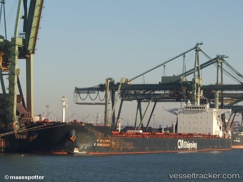
 HL DANGJIN
Current Status
Where is the vessel?
HL DANGJIN is currently in 211 nm S of Deboyne Lagoon, based on AIS data received about 1h ago.
Latest AIS update:
Current position: 14.29997° S, 152.37943° E (211 nm S of Deboyne Lagoon)
Average speed (last 7 days): Loading…
Average speed (last 30 days): Loading…
Vessel profile: HL DANGJIN is a Bulk Carrier with dimensions m x m.
This page combines live AIS, route history, probable destination signals, nearby traffic, and port activity for practical vessel monitoring.
The current position of vessel HL DANGJIN is -14.29997 lat / 152.37943 lng. Updated: 2026-04-26 22:36:37 UTCNearest reference points:
- 209 nm N of Coral Sea
Currently sailing under the flag of Marshall Islands ![]()
Details:
Live Vessel HL DANGJIN Analytics (details, animations, etc.)
Recent AIS points (UTC):
2026-04-26 19:08:40 UTC · -14.98608, 152.44199 · SOG 11.7 kn · COG 356°2026-04-26 20:02:20 UTC · -14.80980, 152.42429 · SOG 11.8 kn · COG 353°
2026-04-26 21:26:25 UTC · -14.53172, 152.40401 · SOG 11.8 kn · COG 358°
2026-04-26 22:36:37 UTC · -14.29997, 152.37943 · SOG 11.9 kn · COG 355°