 vesseltracker.com
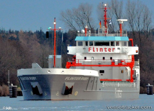
 CELTIC CRUSADER
Current Status
Where is the vessel?
CELTIC CRUSADER is currently in 21 nm NE of Ile D’Ouessant, based on AIS data received less than 1h ago.
Latest AIS update:
Current position: 48.93418° N, 5.17730° W (21 nm NE of Ile D’Ouessant)
Average speed (last 7 days): Loading…
Average speed (last 30 days): Loading…
Vessel profile: CELTIC CRUSADER is a General Cargo with dimensions m x m.
This page combines live AIS, route history, probable destination signals, nearby traffic, and port activity for practical vessel monitoring.
The current position of vessel CELTIC CRUSADER is 48.93418 lat / -5.17730 lng. Updated: 2026-05-01 02:07:30 UTCNearest reference points:
- 18 nm NE of Ile D’Ouessant
- 28 nm N of Landunvez
- 34 nm W of Verzy
Currently sailing under the flag of Portugal ![]()
Details:
Live Vessel CELTIC CRUSADER Analytics (details, animations, etc.)
Recent AIS points (UTC):
2026-04-30 23:01:50 UTC · 48.57158, -5.76602 · SOG 9.6 kn · COG 31°2026-04-30 23:49:31 UTC · 48.69003, -5.67288 · SOG 10.4 kn · COG 32°
2026-05-01 01:12:52 UTC · 48.84598, -5.40490 · SOG 11.2 kn · COG 64°
2026-05-01 02:07:30 UTC · 48.93418, -5.17730 · SOG 12.1 kn · COG 62°