 vesseltracker.com
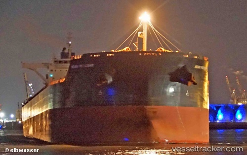
 Indian Friendship
Current Status
Where is the vessel?
Indian Friendship is currently in Near Port Walcot, based on AIS data received about 1h ago.
Latest AIS update:
Current position: 20.54153° S, 117.32734° E (Near Port Walcot)
Average speed (last 7 days): Loading…
Average speed (last 30 days): Loading…
Vessel profile: Indian Friendship is a Ore Carrier with dimensions 292m x 45m.
This page combines live AIS, route history, probable destination signals, nearby traffic, and port activity for practical vessel monitoring.
The current position of vessel Indian Friendship is -20.54153 lat / 117.32734 lng. Updated: 2026-05-14 20:12:20 UTCNearest reference points:
- 11 nm E of Port Walcot
- 116 nm NE of Mutineer
Currently sailing under the flag of Liberia ![]()
Indian Friendship built in 2013 year
Deadweight:
181125 tDetails:
Live Vessel Indian Friendship Analytics (details, animations, etc.)
Recent AIS points (UTC):
2026-05-14 16:54:20 UTC · -20.53978, 117.32484 · SOG 0.1 kn · COG 187°2026-05-14 18:15:22 UTC · -20.53985, 117.32483 · SOG 0 kn · COG 185°
2026-05-14 19:12:56 UTC · -20.53833, 117.32500 · SOG 0 kn · COG -1°
2026-05-14 20:12:20 UTC · -20.54153, 117.32734 · SOG 0.1 kn · COG 261°