 vesseltracker.com
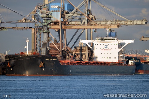
Indian Partnership
Current StatusWhere is the vessel?
Indian Partnership is currently in 288 nm E of Tan Cang Qui Nhon, based on AIS data received about 3h ago.
Latest AIS update:
Current position: 15.05458° N, 114.60588° E (288 nm E of Tan Cang Qui Nhon)
Average speed (last 7 days): Loading…
Average speed (last 30 days): Loading…
Vessel profile: Indian Partnership is a Ore Carrier with dimensions 45m x 292m.
This page combines live AIS, route history, probable destination signals, nearby traffic, and port activity for practical vessel monitoring.
The current position of vessel Indian Partnership is 15.05458 lat / 114.60588 lng. Updated: 2026-05-14 02:17:24 UTCNearest reference points:
- 282 nm E of Tan Cang Qui Nhon
- 222 nm E of Tan Cang Qui Nhon
- 232 nm E of Tan Cang Qui Nhon
Details:
Live Vessel Indian Partnership Analytics (details, animations, etc.)
Recent AIS points (UTC):
2026-05-13 15:11:14 UTC · 13.49667, 113.28771 · SOG 11.4 kn · COG 42°2026-05-13 15:11:14 UTC · 13.49667, 113.28771 · SOG 11.4 kn · COG 42°
2026-05-14 02:17:24 UTC · 15.05458, 114.60588 · SOG 10.8 kn · COG 41°
2026-05-14 02:17:24 UTC · 15.05458, 114.60588 · SOG 10.8 kn · COG 41°