 vesseltracker.com
 MAYA THERESA
Current Status
Where is the vessel?
MAYA THERESA is currently in Near Cobn, based on AIS data received less than 1h ago.
Latest AIS update:
Current position: 51.83403° N, 8.26117° W (Near Cobn)
Average speed (last 7 days): Loading…
Average speed (last 30 days): Loading…
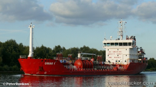
Vessel profile: MAYA THERESA is a Oil/Chemical Tanker with dimensions m x m.
This page combines live AIS, route history, probable destination signals, nearby traffic, and port activity for practical vessel monitoring.
The current position of vessel MAYA THERESA is 51.83403 lat / -8.26117 lng. Updated: 2026-04-23 22:16:21 UTCNearest reference points:
- Near Cobn
- Near Covent Garden
- Near HELVICK
Currently sailing under the flag of Denmark ![]()
Details:
Live Vessel MAYA THERESA Analytics (details, animations, etc.)
Recent AIS points (UTC):
2026-04-23 19:43:22 UTC · 51.83402, -8.26117 · SOG 0 kn · COG 206°2026-04-23 19:58:20 UTC · 51.83403, -8.26118 · SOG 0 kn · COG 206°
2026-04-23 21:40:19 UTC · 51.83404, -8.26117 · SOG 0 kn · COG 206°
2026-04-23 22:16:21 UTC · 51.83403, -8.26117 · SOG 0 kn · COG 206°