 vesseltracker.com
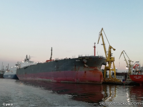
Nordrose
Current StatusWhere is the vessel?
Nordrose is currently in 92 nm S of Grand Cayman, based on AIS data received about 1h ago.
Latest AIS update:
Current position: 17.75511° N, 81.33884° W (92 nm S of Grand Cayman)
Average speed (last 7 days): Loading…
Average speed (last 30 days): Loading…
Vessel profile: Nordrose is a Crude Oil Tanker with dimensions 42m x 228m.
This page combines live AIS, route history, probable destination signals, nearby traffic, and port activity for practical vessel monitoring.
The current position of vessel Nordrose is 17.75511 lat / -81.33884 lng. Updated: 2026-05-14 14:10:08 UTCNearest reference points:
- Near Georgetown, Grand Cayman
Details:
Live Vessel Nordrose Analytics (details, animations, etc.)
Recent AIS points (UTC):
2026-05-14 10:23:06 UTC · 17.09130, -80.56353 · SOG 15.5 kn · COG 313°2026-05-14 10:57:16 UTC · 17.19103, -80.67941 · SOG 15.8 kn · COG 313°
2026-05-14 13:26:22 UTC · 17.62383, -81.18821 · SOG 16 kn · COG 314°
2026-05-14 14:10:08 UTC · 17.75511, -81.33884 · SOG 15.9 kn · COG 314°