 vesseltracker.com
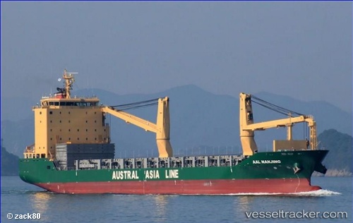
 AAL NANJING
Current Status
Where is the vessel?
AAL NANJING is currently in Near Port Moresby, based on AIS data received less than 1h ago.
Latest AIS update:
Current position: 9.46376° S, 147.13179° E (Near Port Moresby)
Average speed (last 7 days): Loading…
Average speed (last 30 days): Loading…
Vessel profile: AAL NANJING is a General Cargo Ship with dimensions 149m x 147m.
This page combines live AIS, route history, probable destination signals, nearby traffic, and port activity for practical vessel monitoring.
The current position of vessel AAL NANJING is -9.46376 lat / 147.13179 lng. Updated: 2026-05-18 06:54:20 UTCCurrently sailing under the flag of Cyprus ![]()
AAL NANJING built in 2012 year
Deadweight:
18697 tDetails:
Live Vessel AAL NANJING Analytics (details, animations, etc.)
Recent AIS points (UTC):
2026-05-18 03:47:59 UTC · -9.46375, 147.13187 · SOG 0 kn · COG 333°2026-05-18 04:19:50 UTC · -9.46378, 147.13181 · SOG 0.1 kn · COG 327°
2026-05-18 05:39:20 UTC · -9.46379, 147.13177 · SOG 0.1 kn · COG 327°
2026-05-18 06:54:20 UTC · -9.46376, 147.13179 · SOG 0.1 kn · COG 332°