 vesseltracker.com
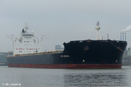
 MERCHANT MARINER
Current Status
Where is the vessel?
MERCHANT MARINER is currently in 13 nm N of Caldera, based on AIS data received about 2h ago.
Latest AIS update:
Current position: 26.84861° S, 70.81456° W (13 nm N of Caldera)
Average speed (last 7 days): Loading…
Average speed (last 30 days): Loading…
Vessel profile: MERCHANT MARINER is a Bulk Carrier with dimensions 292m x 292m.
This page combines live AIS, route history, probable destination signals, nearby traffic, and port activity for practical vessel monitoring.
The current position of vessel MERCHANT MARINER is -26.84861 lat / -70.81456 lng. Updated: 2026-05-14 14:13:19 UTCCurrently sailing under the flag of Greece ![]()
MERCHANT MARINER built in 2010 year
Deadweight:
179570 tDetails:
Live Vessel MERCHANT MARINER Analytics (details, animations, etc.)
Recent AIS points (UTC):
2026-05-14 10:26:18 UTC · -26.84833, -70.81333 · SOG 0 kn · COG -1°2026-05-14 11:25:19 UTC · -26.84866, -70.81453 · SOG 0 kn · COG 305°
2026-05-14 13:35:29 UTC · -26.84833, -70.81333 · SOG 0 kn · COG -1°
2026-05-14 14:13:19 UTC · -26.84861, -70.81456 · SOG 0 kn · COG 306°