 vesseltracker.com
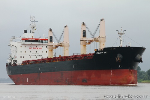
 LIBERTY BAY
Current Status
Where is the vessel?
LIBERTY BAY is currently in 19 nm NE of Monopoli, based on AIS data received less than 1h ago.
Latest AIS update:
Current position: 41.24819° N, 17.69637° E (19 nm NE of Monopoli)
Average speed (last 7 days): Loading…
Average speed (last 30 days): Loading…
Vessel profile: LIBERTY BAY is a Bulk Carrier with dimensions 186m x 28m.
This page combines live AIS, route history, probable destination signals, nearby traffic, and port activity for practical vessel monitoring.
The current position of vessel LIBERTY BAY is 41.24819 lat / 17.69637 lng. Updated: 2026-04-30 15:46:30 UTCNearest reference points:
- Near Monopoli
- Near Porto Di Brindisi
- 15 nm SW of Cavtat
Currently sailing under the flag of Marshall Islands ![]()
LIBERTY BAY built in 2012 year
Deadweight:
36892 tDetails:
Live Vessel LIBERTY BAY Analytics (details, animations, etc.)
Recent AIS points (UTC):
2026-04-30 11:49:20 UTC · 40.70736, 18.42198 · SOG 11.4 kn · COG 316°2026-04-30 13:37:28 UTC · 40.96758, 18.11399 · SOG 11.9 kn · COG 314°
2026-04-30 13:58:18 UTC · 41.01399, 18.04589 · SOG 11.9 kn · COG 311°
2026-04-30 15:46:30 UTC · 41.24819, 17.69637 · SOG 11.8 kn · COG 312°