 Maridive32
Current Status
Where is the vessel?
Maridive32 is currently in 22 nm E of Ras Al Khafji, based on AIS data received about 14h ago.
Latest AIS update:
Current position: 28.47737° N, 48.95438° E (22 nm E of Ras Al Khafji)
Average speed (last 7 days): Loading…
Average speed (last 30 days): Loading…
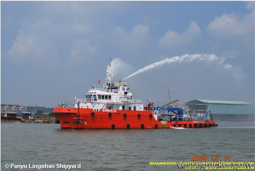
Vessel profile: Maridive32 is a Offshore Support Vessel with dimensions 48m x 12m.
This page combines live AIS, route history, probable destination signals, nearby traffic, and port activity for practical vessel monitoring.
The current position of vessel Maridive32 is 28.47737 lat / 48.95438 lng. Updated: 2026-05-24 02:39:50 UTCNearest reference points:
- 26 nm E of Bandar Al Mishab
- 25 nm W of Soroosh (Cyrus) Terminal
- Near KHAFJI
Currently sailing under the flag of Belize ![]()
Maridive32 built in 2009 year
Deadweight:
550 tDetails:
Live Vessel Maridive32 Analytics (details, animations, etc.)
Recent AIS points (UTC):
2026-05-23 13:15:47 UTC · 28.47738, 48.95437 · SOG 0.1 kn · COG 31°2026-05-23 13:15:47 UTC · 28.47738, 48.95437 · SOG 0.1 kn · COG 31°
2026-05-24 01:39:49 UTC · 28.47735, 48.95435 · SOG 0 kn · COG 27°
2026-05-24 02:39:50 UTC · 28.47737, 48.95438 · SOG 0 kn · COG 32°