 vesseltracker.com
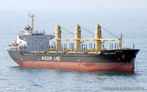
 SANTORINA
Current Status
Where is the vessel?
SANTORINA is currently in 39 nm NE of Hedenham, based on AIS data received less than 1h ago.
Latest AIS update:
Current position: 53.09333° N, 2.63667° E (39 nm NE of Hedenham)
Average speed (last 7 days): Loading…
Average speed (last 30 days): Loading…
Vessel profile: SANTORINA is a Bulk Carrier with dimensions m x m.
This page combines live AIS, route history, probable destination signals, nearby traffic, and port activity for practical vessel monitoring.
The current position of vessel SANTORINA is 53.09333 lat / 2.63667 lng. Updated: 2026-05-14 17:19:07 UTCNearest reference points:
- 24 nm NE of Caister on Sea
- Near Craven Arms
- 48 nm NE of Somersby
Currently sailing under the flag of Antigua and Barbuda ![]()
Details:
Live Vessel SANTORINA Analytics (details, animations, etc.)
Recent AIS points (UTC):
2026-05-14 14:01:06 UTC · 53.64333, 2.96833 · SOG 10 kn · COG -1°2026-05-14 15:46:11 UTC · 53.35667, 2.80667 · SOG 10 kn · COG -1°
2026-05-14 16:13:08 UTC · 53.28333, 2.75833 · SOG 10 kn · COG -1°
2026-05-14 17:19:07 UTC · 53.09333, 2.63667 · SOG 11 kn · COG -1°