 vesseltracker.com
 Key East
Current Status
Where is the vessel?
Key East is currently in Near Brest, based on AIS data received less than 1h ago.
Latest AIS update:
Current position: 48.38104° N, 4.47362° W (Near Brest)
Average speed (last 7 days): Loading…
Average speed (last 30 days): Loading…
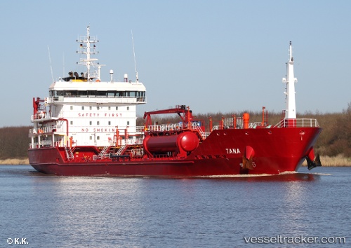
Vessel profile: Key East is a Chemical Oil Products Tanker with dimensions 109m x 17m.
This page combines live AIS, route history, probable destination signals, nearby traffic, and port activity for practical vessel monitoring.
The current position of vessel Key East is 48.38104 lat / -4.47362 lng. Updated: 2026-05-14 07:19:56 UTCNearest reference points:
- Near Brest
- Near Le Relecq-Kerhuon
- Near Perros
Currently sailing under the flag of Malta ![]()
Key East built in 2011 year
Deadweight:
6480 tDetails:
Live Vessel Key East Analytics (details, animations, etc.)
Recent AIS points (UTC):
2026-05-14 04:13:55 UTC · 48.38107, -4.47363 · SOG 0 kn · COG 189°2026-05-14 06:19:54 UTC · 48.38106, -4.47362 · SOG 0 kn · COG 189°
2026-05-14 07:01:56 UTC · 48.38108, -4.47362 · SOG 0 kn · COG 189°
2026-05-14 07:19:56 UTC · 48.38104, -4.47362 · SOG 0 kn · COG 189°