 vesseltracker.com
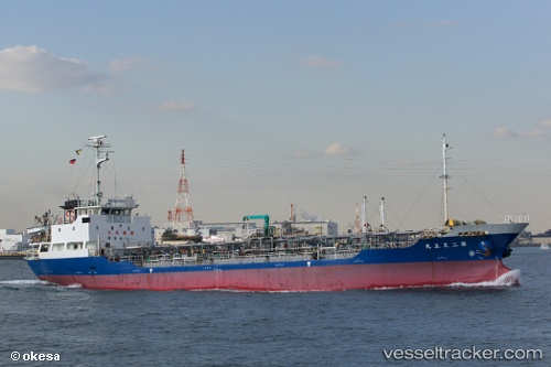
 No2. Tenshou Maru
Current Status
Where is the vessel?
No2. Tenshou Maru is currently in 28 nm SW of Sukumowan, based on AIS data received about 1h ago.
Latest AIS update:
Current position: 32.51291° N, 132.42261° E (28 nm SW of Sukumowan)
Average speed (last 7 days): Loading…
Average speed (last 30 days): Loading…
Vessel profile: No2. Tenshou Maru is a Oil Products Tanker with dimensions 74m x 12m.
This page combines live AIS, route history, probable destination signals, nearby traffic, and port activity for practical vessel monitoring.
The current position of vessel No2. Tenshou Maru is 32.51291 lat / 132.42261 lng. Updated: 2026-05-14 07:40:02 UTCNearest reference points:
- 19 nm SW of Sukumowan
- 11 nm E of SAEKI
- Near Hyuga
Currently sailing under the flag of Japan ![]()
Details:
Live Vessel No2. Tenshou Maru Analytics (details, animations, etc.)
Recent AIS points (UTC):
2026-05-14 04:27:42 UTC · 32.14228, 131.78513 · SOG 12 kn · COG 45°2026-05-14 06:29:42 UTC · 32.41280, 132.15588 · SOG 12.6 kn · COG 55°
2026-05-14 07:26:01 UTC · 32.49321, 132.36832 · SOG 12.7 kn · COG 68°
2026-05-14 07:40:02 UTC · 32.51291, 132.42261 · SOG 12.8 kn · COG 69°