 vesseltracker.com
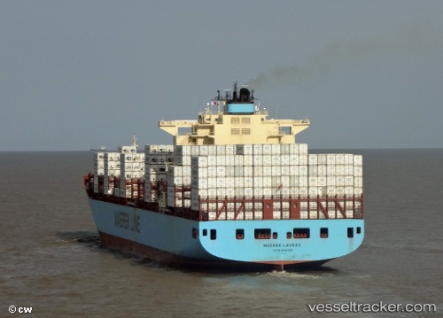
 MAERSK LAVRAS
Current Status
Where is the vessel?
MAERSK LAVRAS is currently in 37 nm SW of BARRA DE NAVIDAD, based on AIS data received about 1h ago.
Latest AIS update:
Current position: 18.64991° N, 104.97496° W (37 nm SW of BARRA DE NAVIDAD)
Average speed (last 7 days): Loading…
Average speed (last 30 days): Loading…
Vessel profile: MAERSK LAVRAS is a Container Ship with dimensions m x m.
This page combines live AIS, route history, probable destination signals, nearby traffic, and port activity for practical vessel monitoring.
The current position of vessel MAERSK LAVRAS is 18.64991 lat / -104.97496 lng. Updated: 2026-05-02 07:25:01 UTCNearest reference points:
- 46 nm S of El Ranchito
- Near NUEVO VALLARTA
- 43 nm SW of Antunez
Currently sailing under the flag of Denmark ![]()
Details:
Live Vessel MAERSK LAVRAS Analytics (details, animations, etc.)
Recent AIS points (UTC):
2026-05-02 04:40:11 UTC · 19.09391, -105.64245 · SOG 17.2 kn · COG 125°2026-05-02 05:22:21 UTC · 18.97375, -105.46868 · SOG 16.9 kn · COG 124°
2026-05-02 06:58:59 UTC · 18.72167, -105.07500 · SOG 16 kn · COG -1°
2026-05-02 07:25:01 UTC · 18.64991, -104.97496 · SOG 16.8 kn · COG 134°