 vesseltracker.com
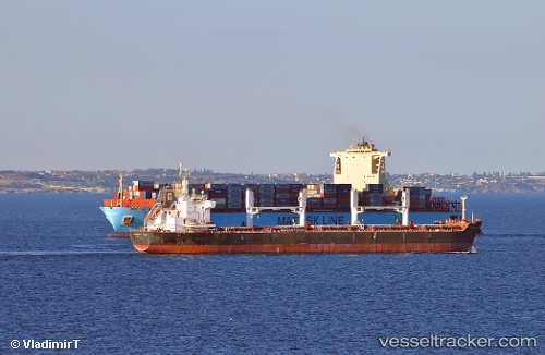
 MAERSK LAMANAI
Current Status
Where is the vessel?
MAERSK LAMANAI is currently in 145 nm S of Praia, based on AIS data received less than 1h ago.
Latest AIS update:
Current position: 12.49299° N, 23.59068° W (145 nm S of Praia)
Average speed (last 7 days): Loading…
Average speed (last 30 days): Loading…
Vessel profile: MAERSK LAMANAI is a Container Ship with dimensions m x m.
This page combines live AIS, route history, probable destination signals, nearby traffic, and port activity for practical vessel monitoring.
The current position of vessel MAERSK LAMANAI is 12.49299 lat / -23.59068 lng. Updated: 2026-05-14 21:43:53 UTCCurrently sailing under the flag of Denmark ![]()
Details:
Live Vessel MAERSK LAMANAI Analytics (details, animations, etc.)
Recent AIS points (UTC):
2026-05-14 18:19:10 UTC · 11.41614, -23.76763 · SOG 18.8 kn · COG 13°2026-05-14 19:53:38 UTC · 11.91129, -23.67313 · SOG 19.1 kn · COG 10°
2026-05-14 19:56:54 UTC · 11.92872, -23.67064 · SOG 18.9 kn · COG 10°
2026-05-14 21:43:53 UTC · 12.49299, -23.59068 · SOG 19.1 kn · COG 7°