 vesseltracker.com
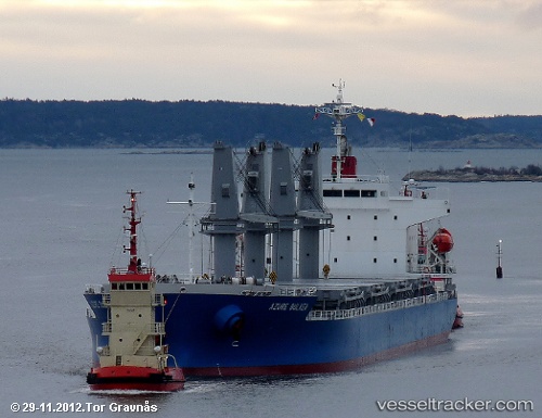
 TSL ROSEMARY
Current Status
Where is the vessel?
TSL ROSEMARY is currently in 160 nm E of Coral Sea, based on AIS data received about 2h ago.
Latest AIS update:
Current position: 19.64383° S, 153.65349° E (160 nm E of Coral Sea)
Average speed (last 7 days): Loading…
Average speed (last 30 days): Loading…
Vessel profile: TSL ROSEMARY is a General Cargo Ship with dimensions 28m x 177m.
This page combines live AIS, route history, probable destination signals, nearby traffic, and port activity for practical vessel monitoring.
The current position of vessel TSL ROSEMARY is -19.64383 lat / 153.65349 lng. Updated: 2026-05-15 19:22:31 UTCNearest reference points:
- 153 nm NE of Coral Sea
Currently sailing under the flag of Malta ![]()
TSL ROSEMARY built in 2012 year
Deadweight:
33191 tDetails:
Live Vessel TSL ROSEMARY Analytics (details, animations, etc.)
Recent AIS points (UTC):
2026-05-15 16:01:10 UTC · -19.07345, 153.55141 · SOG 10.2 kn · COG 166°2026-05-15 18:10:19 UTC · -19.43833, 153.61166 · SOG 10 kn · COG -1°
2026-05-15 19:12:08 UTC · -19.61353, 153.65118 · SOG 10.4 kn · COG 166°
2026-05-15 19:22:31 UTC · -19.64383, 153.65349 · SOG 10.5 kn · COG 174°