 vesseltracker.com
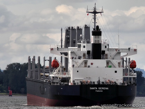
Santa Serena
Current StatusWhere is the vessel?
Santa Serena is currently in 85 nm SE of Iturup, based on AIS data received less than 1h ago.
Latest AIS update:
Current position: 44.57574° N, 149.78282° E (85 nm SE of Iturup)
Average speed (last 7 days): Loading…
Average speed (last 30 days): Loading…
Vessel profile: Santa Serena is a General Cargo Ship with dimensions 31m x 185m.
This page combines live AIS, route history, probable destination signals, nearby traffic, and port activity for practical vessel monitoring.
The current position of vessel Santa Serena is 44.57574 lat / 149.78282 lng. Updated: 2026-05-13 22:11:45 UTCDetails:
Live Vessel Santa Serena Analytics (details, animations, etc.)
Recent AIS points (UTC):
2026-05-13 19:28:43 UTC · 44.35397, 149.12273 · SOG 11.4 kn · COG 61°2026-05-13 19:59:38 UTC · 44.39536, 149.24557 · SOG 11.5 kn · COG 61°
2026-05-13 22:01:45 UTC · 44.56276, 149.74036 · SOG 11.9 kn · COG 66°
2026-05-13 22:11:45 UTC · 44.57574, 149.78282 · SOG 11.9 kn · COG 66°