 vesseltracker.com
 AETOS
AETOS
Current Status
Where is the vessel?
AETOS is currently in Near Barra Grande, based on AIS data received less than 1h ago.
Latest AIS update:
Current position: 13.10303° S, 38.63406° W (Near Barra Grande)
Average speed (last 7 days): Loading…
Average speed (last 30 days): Loading…
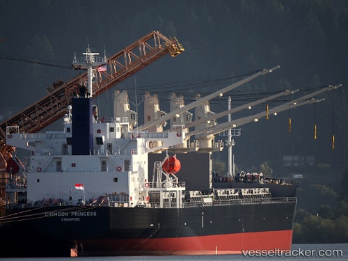
Vessel profile: AETOS is a Bulk Carrier with dimensions 31m x 185m.
This page combines live AIS, route history, probable destination signals, nearby traffic, and port activity for practical vessel monitoring.
The current position of vessel AETOS is -13.10303 lat / -38.63406 lng. Updated: 2026-05-13 21:45:04 UTCNearest reference points:
- Near Aracaju
- Near Barra dos Coqueiros
Currently sailing under the flag of Bahamas ![]()
AETOS built in 2012 year
Deadweight:
38395 tDetails:
Live Vessel AETOS Analytics (details, animations, etc.)
Recent AIS points (UTC):
2026-05-13 18:21:03 UTC · -13.10186, -38.63300 · SOG 0 kn · COG 162°2026-05-13 19:12:04 UTC · -13.10205, -38.63340 · SOG 0.2 kn · COG 145°
2026-05-13 19:57:03 UTC · -13.10245, -38.63372 · SOG 0.1 kn · COG 124°
2026-05-13 21:45:04 UTC · -13.10303, -38.63406 · SOG 0.1 kn · COG 104°