 vesseltracker.com
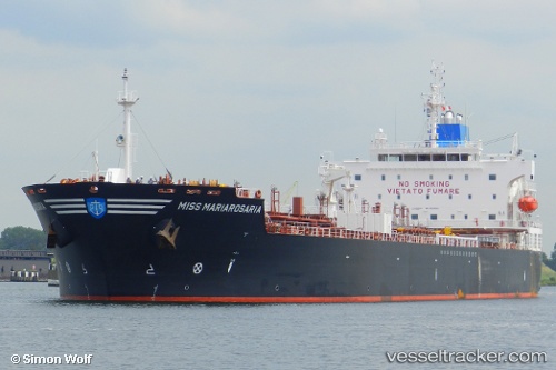
 CAPRI
CAPRI
Current Status
Where is the vessel?
CAPRI is currently in Near Deal Party, based on AIS data received about 1h ago.
Latest AIS update:
Current position: 33.88402° S, 25.67053° E (Near Deal Party)
Average speed (last 7 days): Loading…
Average speed (last 30 days): Loading…
Vessel profile: CAPRI is a Oil/Chemical Tanker with dimensions m x m.
This page combines live AIS, route history, probable destination signals, nearby traffic, and port activity for practical vessel monitoring.
The current position of vessel CAPRI is -33.88402 lat / 25.67053 lng. Updated: 2026-05-17 01:40:28 UTCNearest reference points:
- Near Deal Party
- 21 nm S of Mount Pleasant
Currently sailing under the flag of Liberia ![]()
Details:
Live Vessel CAPRI Analytics (details, animations, etc.)
Recent AIS points (UTC):
2026-05-16 22:40:32 UTC · -33.88337, 25.67042 · SOG 0.1 kn · COG 71°2026-05-16 23:22:26 UTC · -33.88361, 25.67050 · SOG 0 kn · COG 60°
2026-05-17 01:28:28 UTC · -33.88377, 25.67039 · SOG 0.1 kn · COG 64°
2026-05-17 01:40:28 UTC · -33.88402, 25.67053 · SOG 0.3 kn · COG 53°