 vesseltracker.com
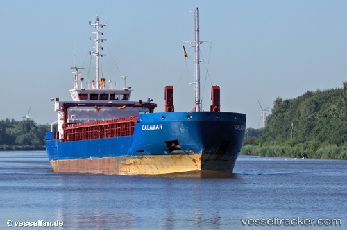
 CALAMAR
Current Status
Where is the vessel?
CALAMAR is currently in 25 nm E of Orzesze, based on AIS data received less than 1h ago.
Latest AIS update:
Current position: 59.02215° N, 19.57141° E (25 nm E of Orzesze)
Average speed (last 7 days): Loading…
Average speed (last 30 days): Loading…
Vessel profile: CALAMAR is a General Cargo Ship with dimensions 88m x 12m.
This page combines live AIS, route history, probable destination signals, nearby traffic, and port activity for practical vessel monitoring.
The current position of vessel CALAMAR is 59.02215 lat / 19.57141 lng. Updated: 2026-04-28 03:58:14 UTCNearest reference points:
- Near NOTTNAS
- Near RAVSNAS
- Near Kapellskär
Currently sailing under the flag of Cyprus ![]()
CALAMAR built in 2011 year
Deadweight:
4030 tDetails:
Live Vessel CALAMAR Analytics (details, animations, etc.)
Recent AIS points (UTC):
2026-04-27 23:40:04 UTC · 58.65445, 18.13391 · SOG 11.7 kn · COG 86°2026-04-28 01:51:15 UTC · 58.82397, 18.86220 · SOG 11.8 kn · COG 63°
2026-04-28 02:24:23 UTC · 58.87735, 19.04667 · SOG 11.7 kn · COG 63°
2026-04-28 03:58:14 UTC · 59.02215, 19.57141 · SOG 11.5 kn · COG 61°