 vesseltracker.com
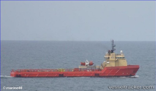
Santos Scout
Current StatusWhere is the vessel?
Santos Scout is currently in Near Santos Dumont Apt/Rio de Janeiro, based on AIS data received less than 1h ago.
Latest AIS update:
Current position: 23.01855° S, 43.09366° W (Near Santos Dumont Apt/Rio de Janeiro)
Average speed (last 7 days): Loading…
Average speed (last 30 days): Loading…
Vessel profile: Santos Scout is a Offshore Tug Supply Ship with dimensions 18m x 84m.
This page combines live AIS, route history, probable destination signals, nearby traffic, and port activity for practical vessel monitoring.
The current position of vessel Santos Scout is -23.01855 lat / -43.09366 lng. Updated: 2026-05-14 17:48:19 UTCNearest reference points:
- Near Santos Dumont Apt/Rio de Janeiro
- Near NITEROI
- Near Rio De Janeiro
Details:
Live Vessel Santos Scout Analytics (details, animations, etc.)
Recent AIS points (UTC):
2026-05-14 13:57:57 UTC · -22.84976, -43.14849 · SOG 0 kn · COG 189°2026-05-14 16:28:50 UTC · -22.86351, -43.15581 · SOG 7.4 kn · COG 171°
2026-05-14 16:30:20 UTC · -22.86665, -43.15551 · SOG 7.7 kn · COG 170°
2026-05-14 17:48:19 UTC · -23.01855, -43.09366 · SOG 4.2 kn · COG 102°