 vesseltracker.com
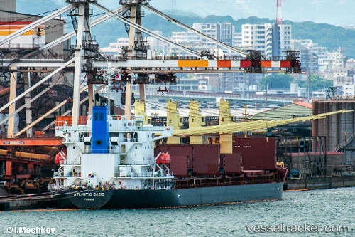
Atlantic Oasis
Current StatusWhere is the vessel?
Atlantic Oasis is currently in 29 nm S of Nudao, based on AIS data received less than 1h ago.
Latest AIS update:
Current position: 35.89984° N, 120.95867° E (29 nm S of Nudao)
Average speed (last 7 days): Loading…
Average speed (last 30 days): Loading…
Vessel profile: Atlantic Oasis is a Bulk Carrier with dimensions 29m x 180m.
This page combines live AIS, route history, probable destination signals, nearby traffic, and port activity for practical vessel monitoring.
The current position of vessel Atlantic Oasis is 35.89984 lat / 120.95867 lng. Updated: 2026-05-13 19:59:06 UTCNearest reference points:
- 26 nm S of Nudao
- 36 nm SE of Qingdao
- 22 nm S of Nudao
Details:
Live Vessel Atlantic Oasis Analytics (details, animations, etc.)
Recent AIS points (UTC):
2026-05-13 16:53:06 UTC · 35.90110, 120.95752 · SOG 0 kn · COG 88°2026-05-13 17:41:06 UTC · 35.90113, 120.95761 · SOG 0.1 kn · COG 94°
2026-05-13 19:35:06 UTC · 35.89989, 120.95822 · SOG 0.2 kn · COG 55°
2026-05-13 19:59:06 UTC · 35.89984, 120.95867 · SOG 0.2 kn · COG 49°