 vesseltracker.com
 K HAK
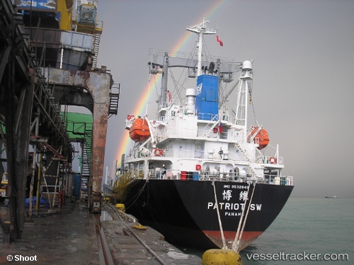
K HAK
Current Status
Where is the vessel?
K HAK is currently in Near Limas, based on AIS data received less than 1h ago.
Latest AIS update:
Current position: 38.75902° N, 26.88744° E (Near Limas)
Average speed (last 7 days): Loading…
Average speed (last 30 days): Loading…
Vessel profile: K HAK is a General Cargo with dimensions m x m.
This page combines live AIS, route history, probable destination signals, nearby traffic, and port activity for practical vessel monitoring.
The current position of vessel K HAK is 38.75902 lat / 26.88744 lng. Updated: 2026-05-15 18:11:52 UTCNearest reference points:
- Near Nemrut Bay
- Near NEMRUT
- Near Aliaga
Currently sailing under the flag of Palau ![]()
Details:
Live Vessel K HAK Analytics (details, animations, etc.)
Recent AIS points (UTC):
2026-05-15 13:59:53 UTC · 38.75930, 26.88789 · SOG 0 kn · COG 290°2026-05-15 16:10:29 UTC · 38.75981, 26.88855 · SOG 0.1 kn · COG 224°
2026-05-15 17:05:52 UTC · 38.75936, 26.88838 · SOG 0 kn · COG 302°
2026-05-15 18:11:52 UTC · 38.75902, 26.88744 · SOG 0 kn · COG 345°