 vesseltracker.com
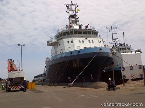
Handin Tide
Current StatusWhere is the vessel?
Handin Tide is currently in 29 nm SE of Atakka Dry Port, based on AIS data received about 1205d ago.
Latest AIS update:
Current position: 31.66993° N, 33.27859° E (29 nm SE of Atakka Dry Port)
Average speed (last 7 days): Loading…
Average speed (last 30 days): Loading…
Vessel profile: Handin Tide is a Offshore Tug Supply Ship with dimensions 19m x 87m.
This page combines live AIS, route history, probable destination signals, nearby traffic, and port activity for practical vessel monitoring.
The current position of vessel Handin Tide is 31.66993 lat / 33.27859 lng. Updated: 2023-01-10 18:04:30 UTCNearest reference points:
- 17 nm E of Atakka Dry Port
- Near AL ARISH
- 24 nm SW of Atakka Dry Port
Details:
Live Vessel Handin Tide Analytics (details, animations, etc.)
Recent AIS points (UTC):
2023-01-10 18:04:30 UTC · 31.66993, 33.27859 · SOG 0 kn · COG 300°