 vesseltracker.com
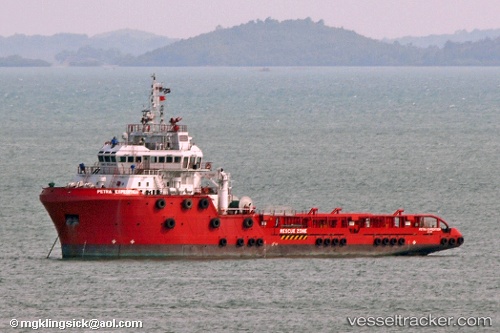
Perdanaexpedition
Current StatusWhere is the vessel?
Perdanaexpedition is currently in 24 nm N of MIRI, based on AIS data received about 1h ago.
Latest AIS update:
Current position: 4.77833° N, 113.89333° E (24 nm N of MIRI)
Average speed (last 7 days): Loading…
Average speed (last 30 days): Loading…
Vessel profile: Perdanaexpedition is a Offshore Tug Supply Ship with dimensions 20m x 75m.
This page combines live AIS, route history, probable destination signals, nearby traffic, and port activity for practical vessel monitoring.
The current position of vessel Perdanaexpedition is 4.77833 lat / 113.89333 lng. Updated: 2026-05-14 16:34:51 UTCNearest reference points:
- 11 nm N of MIRI
- Near MIRI
- Near Kikeh
Details:
Live Vessel Perdanaexpedition Analytics (details, animations, etc.)
Recent AIS points (UTC):
2026-05-14 12:52:52 UTC · 4.82500, 113.52333 · SOG 7 kn · COG -1°2026-05-14 14:22:50 UTC · 4.81833, 113.63833 · SOG 7 kn · COG -1°
2026-05-14 15:07:48 UTC · 4.80167, 113.72500 · SOG 7 kn · COG -1°
2026-05-14 16:34:51 UTC · 4.77833, 113.89333 · SOG 7 kn · COG -1°