 vesseltracker.com
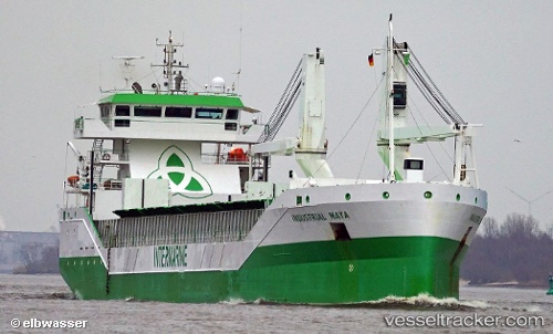
 OCEAN7 MUGA
Current Status
Where is the vessel?
OCEAN7 MUGA is currently in Near Kamsar, based on AIS data received about 1h ago.
Latest AIS update:
Current position: 10.65038° N, 14.61866° W (Near Kamsar)
Average speed (last 7 days): Loading…
Average speed (last 30 days): Loading…
Vessel profile: OCEAN7 MUGA is a General Cargo with dimensions m x m.
This page combines live AIS, route history, probable destination signals, nearby traffic, and port activity for practical vessel monitoring.
The current position of vessel OCEAN7 MUGA is 10.65038 lat / -14.61866 lng. Updated: 2026-05-01 19:54:23 UTCNearest reference points:
- Near Dougoula
- Near Port de Boké
- 14 nm S of Port de Boké
Currently sailing under the flag of Antigua and Barbuda ![]()
Details:
Live Vessel OCEAN7 MUGA Analytics (details, animations, etc.)
Recent AIS points (UTC):
2026-05-01 16:03:24 UTC · 10.65040, -14.61868 · SOG 0 kn · COG 104°2026-05-01 18:18:23 UTC · 10.65039, -14.61865 · SOG 0 kn · COG 103°
2026-05-01 19:02:11 UTC · 10.65037, -14.61869 · SOG 0 kn · COG 104°
2026-05-01 19:54:23 UTC · 10.65038, -14.61866 · SOG 0 kn · COG 103°