 vesseltracker.com
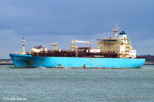
Navigator Galaxy
Current StatusWhere is the vessel?
Navigator Galaxy is currently in 63 nm NE of Natal, based on AIS data received less than 1h ago.
Latest AIS update:
Current position: 4.89461° S, 34.57838° W (63 nm NE of Natal)
Average speed (last 7 days): Loading…
Average speed (last 30 days): Loading…
Vessel profile: Navigator Galaxy is a Lpg Tanker with dimensions 25m x 154m.
This page combines live AIS, route history, probable destination signals, nearby traffic, and port activity for practical vessel monitoring.
The current position of vessel Navigator Galaxy is -4.89461 lat / -34.57838 lng. Updated: 2026-05-14 23:49:55 UTCNearest reference points:
- 20 nm E of Natal
Details:
Live Vessel Navigator Galaxy Analytics (details, animations, etc.)
Recent AIS points (UTC):
2026-05-14 19:46:34 UTC · -5.72801, -34.31873 · SOG 12.2 kn · COG 343°2026-05-14 21:39:46 UTC · -5.35043, -34.44341 · SOG 13 kn · COG 344°
2026-05-14 22:18:44 UTC · -5.21694, -34.48889 · SOG 13.4 kn · COG 347°
2026-05-14 23:49:55 UTC · -4.89461, -34.57838 · SOG 13 kn · COG 349°