 vesseltracker.com
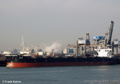
 CAPE ENIGMA
Current Status
Where is the vessel?
CAPE ENIGMA is currently in 41 nm E of Karkar Is, based on AIS data received less than 1h ago.
Latest AIS update:
Current position: 4.85187° S, 146.62469° E (41 nm E of Karkar Is)
Average speed (last 7 days): Loading…
Average speed (last 30 days): Loading…
Vessel profile: CAPE ENIGMA is a Cargo with dimensions m x m.
This page combines live AIS, route history, probable destination signals, nearby traffic, and port activity for practical vessel monitoring.
The current position of vessel CAPE ENIGMA is -4.85187 lat / 146.62469 lng. Updated: 2026-05-02 10:07:23 UTCNearest reference points:
- Near Lae
- 42 nm E of Tami Island
Currently sailing under the flag of Liberia ![]()
Details:
Live Vessel CAPE ENIGMA Analytics (details, animations, etc.)
Recent AIS points (UTC):
2026-05-02 07:38:52 UTC · -5.35855, 146.82396 · SOG 15.1 kn · COG 324°2026-05-02 08:02:46 UTC · -5.27425, 146.77625 · SOG 13.8 kn · COG 342°
2026-05-02 10:02:19 UTC · -4.86941, 146.63069 · SOG 12.8 kn · COG 342°
2026-05-02 10:07:23 UTC · -4.85187, 146.62469 · SOG 12.9 kn · COG 342°