 vesseltracker.com
 MANTA MELEK
Current Status
Where is the vessel?
MANTA MELEK is currently in Near Canastel, based on AIS data received less than 1h ago.
Latest AIS update:
Current position: 35.75883° N, 0.60741° W (Near Canastel)
Average speed (last 7 days): Loading…
Average speed (last 30 days): Loading…
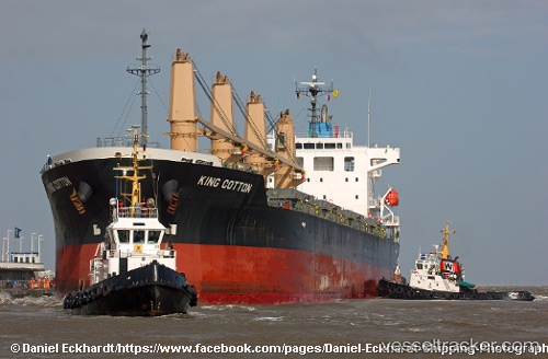
Vessel profile: MANTA MELEK is a General Cargo Ship with dimensions 29m x 180m.
This page combines live AIS, route history, probable destination signals, nearby traffic, and port activity for practical vessel monitoring.
The current position of vessel MANTA MELEK is 35.75883 lat / -0.60741 lng. Updated: 2026-05-14 19:49:13 UTCNearest reference points:
- Near Oran
- Near Arzew
- 30 nm N of Mers El Kebir
Currently sailing under the flag of Marshall Islands ![]()
MANTA MELEK built in 2011 year
Deadweight:
33622 tDetails:
Live Vessel MANTA MELEK Analytics (details, animations, etc.)
Recent AIS points (UTC):
2026-05-14 16:34:13 UTC · 35.75831, -0.60823 · SOG 0.1 kn · COG 342°2026-05-14 18:07:15 UTC · 35.75818, -0.60898 · SOG 0.1 kn · COG 358°
2026-05-14 19:07:13 UTC · 35.75828, -0.60948 · SOG 0 kn · COG 9°
2026-05-14 19:49:13 UTC · 35.75883, -0.60741 · SOG 0.1 kn · COG 310°