 JOHNY
JOHNY
Current Status
Where is the vessel?
JOHNY is currently in 38 nm SE of LINDOS, based on AIS data received about 15h ago.
Latest AIS update:
Current position: 35.67729° N, 28.67900° E (38 nm SE of LINDOS)
Average speed (last 7 days): Loading…
Average speed (last 30 days): Loading…
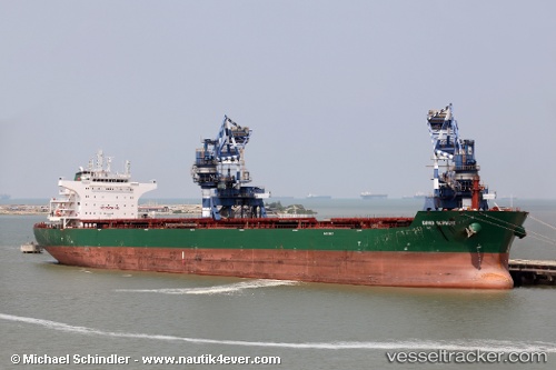
Vessel profile: JOHNY is a Bulk Carrier with dimensions m x m.
This page combines live AIS, route history, probable destination signals, nearby traffic, and port activity for practical vessel monitoring.
The current position of vessel JOHNY is 35.67729 lat / 28.67900 lng. Updated: 2026-05-23 23:49:38 UTCNearest reference points:
- 18 nm E of Rhodes
- Near Rhodes
- 10 nm S of GOCEK
Currently sailing under the flag of Marshall Islands ![]()
Details:
Live Vessel JOHNY Analytics (details, animations, etc.)
Recent AIS points (UTC):
2026-05-23 21:57:40 UTC · 35.66636, 28.23860 · SOG 11.3 kn · COG 88°2026-05-23 22:43:30 UTC · 35.66996, 28.41877 · SOG 11.6 kn · COG 88°
2026-05-23 23:49:38 UTC · 35.67729, 28.67900 · SOG 11.5 kn · COG 88°
2026-05-23 23:49:38 UTC · 35.67729, 28.67900 · SOG 11.5 kn · COG 88°