 vesseltracker.com
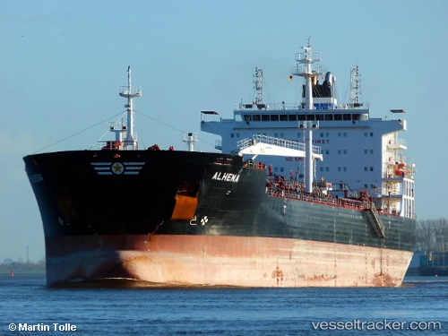
 ANGIE
ANGIE
Current Status
Where is the vessel?
ANGIE is currently in 30 nm E of Martil, based on AIS data received about 1h ago.
Latest AIS update:
Current position: 35.75340° N, 4.68457° W (30 nm E of Martil)
Average speed (last 7 days): Loading…
Average speed (last 30 days): Loading…
Vessel profile: ANGIE is a Oil/Chemical Tanker with dimensions m x m.
This page combines live AIS, route history, probable destination signals, nearby traffic, and port activity for practical vessel monitoring.
The current position of vessel ANGIE is 35.75340 lat / -4.68457 lng. Updated: 2026-05-13 22:17:27 UTCNearest reference points:
- 30 nm E of Ceuta
- 31 nm SE of Fuengirola
- Near Waterport
Currently sailing under the flag of Liberia ![]()
Details:
Live Vessel ANGIE Analytics (details, animations, etc.)
Recent AIS points (UTC):
2026-05-13 19:06:28 UTC · 35.74405, -4.73932 · SOG 0.4 kn · COG 226°2026-05-13 19:38:57 UTC · 35.74473, -4.73258 · SOG 0.6 kn · COG 227°
2026-05-13 22:09:38 UTC · 35.75265, -4.68750 · SOG 1.1 kn · COG 214°
2026-05-13 22:17:27 UTC · 35.75340, -4.68457 · SOG 1.1 kn · COG 207°