 vesseltracker.com
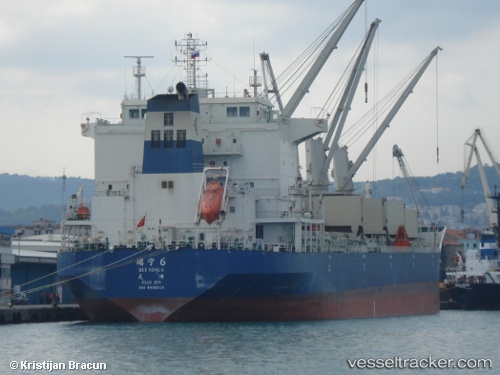
 RUI NING 6
Current Status
Where is the vessel?
RUI NING 6 is currently in 11 nm SW of Kuala Langat, based on AIS data received about 3h ago.
Latest AIS update:
Current position: 2.59233° N, 101.49031° E (11 nm SW of Kuala Langat)
Average speed (last 7 days): Loading…
Average speed (last 30 days): Loading…
Vessel profile: RUI NING 6 is a Bulk Carrier with dimensions m x m.
This page combines live AIS, route history, probable destination signals, nearby traffic, and port activity for practical vessel monitoring.
The current position of vessel RUI NING 6 is 2.59233 lat / 101.49031 lng. Updated: 2026-05-14 23:45:15 UTCNearest reference points:
- 14 nm SW of Banting
- 13 nm SW of PORT DICKSON
- 15 nm SW of Banting
Currently sailing under the flag of China ![]()
Details:
Live Vessel RUI NING 6 Analytics (details, animations, etc.)
Recent AIS points (UTC):
2026-05-14 20:15:15 UTC · 2.24634, 101.94537 · SOG 10.3 kn · COG 306°2026-05-14 22:11:45 UTC · 2.43131, 101.69836 · SOG 9.7 kn · COG 308°
2026-05-14 22:31:05 UTC · 2.46392, 101.65668 · SOG 10 kn · COG 308°
2026-05-14 23:45:15 UTC · 2.59233, 101.49031 · SOG 10.7 kn · COG 308°