 vesseltracker.com
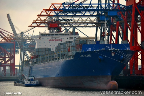
 CMA CGM NANSHA
Current Status
Where is the vessel?
CMA CGM NANSHA is currently in 25 nm N of Town Quays/Drogheda, based on AIS data received less than 1h ago.
Latest AIS update:
Current position: 54.13459° N, 6.27490° E (25 nm N of Town Quays/Drogheda)
Average speed (last 7 days): Loading…
Average speed (last 30 days): Loading…
Vessel profile: CMA CGM NANSHA is a Cargo D with dimensions m x m.
This page combines live AIS, route history, probable destination signals, nearby traffic, and port activity for practical vessel monitoring.
The current position of vessel CMA CGM NANSHA is 54.13459 lat / 6.27490 lng. Updated: 2026-05-16 01:50:36 UTCNearest reference points:
- 14 nm NW of Town Quays/Drogheda
- Near Borkum
- Near Hoogkerk
Currently sailing under the flag of Malta ![]()
Details:
Live Vessel CMA CGM NANSHA Analytics (details, animations, etc.)
Recent AIS points (UTC):
2026-05-15 23:39:58 UTC · 54.07420, 5.55346 · SOG 11.6 kn · COG 82°2026-05-15 23:39:58 UTC · 54.07420, 5.55346 · SOG 11.6 kn · COG 82°
2026-05-16 01:24:56 UTC · 54.12279, 6.13072 · SOG 11.8 kn · COG 81°
2026-05-16 01:50:36 UTC · 54.13459, 6.27490 · SOG 13.2 kn · COG 83°