 vesseltracker.com
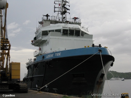
Leese Tide
Current StatusWhere is the vessel?
Leese Tide is currently in Near Ras Tannurah, based on AIS data received less than 1h ago.
Latest AIS update:
Current position: 26.63212° N, 50.15754° E (Near Ras Tannurah)
Average speed (last 7 days): Loading…
Average speed (last 30 days): Loading…
Vessel profile: Leese Tide is a Offshore Tug Supply Ship with dimensions 16m x 70m.
This page combines live AIS, route history, probable destination signals, nearby traffic, and port activity for practical vessel monitoring.
The current position of vessel Leese Tide is 26.63212 lat / 50.15754 lng. Updated: 2026-05-13 22:08:25 UTCNearest reference points:
- Near DAMMAM
- Near Ad Dammam
- Near Sayhat
Details:
Live Vessel Leese Tide Analytics (details, animations, etc.)
Recent AIS points (UTC):
2026-05-13 18:23:25 UTC · 26.63213, 50.15754 · SOG 0 kn · COG 328°2026-05-13 19:41:25 UTC · 26.63217, 50.15755 · SOG 0 kn · COG 328°
2026-05-13 19:53:24 UTC · 26.63219, 50.15753 · SOG 0 kn · COG 328°
2026-05-13 22:08:25 UTC · 26.63212, 50.15754 · SOG 0 kn · COG 328°