 vesseltracker.com
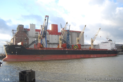
 ANTIGONI FORCE
Current Status
Where is the vessel?
ANTIGONI FORCE is currently in 116 nm W of Raigad, based on AIS data received about 1h ago.
Latest AIS update:
Current position: 18.02745° N, 70.93131° E (116 nm W of Raigad)
Average speed (last 7 days): Loading…
Average speed (last 30 days): Loading…
Vessel profile: ANTIGONI FORCE is a Bulk Carrier with dimensions 32m x 196m.
This page combines live AIS, route history, probable destination signals, nearby traffic, and port activity for practical vessel monitoring.
The current position of vessel ANTIGONI FORCE is 18.02745 lat / 70.93131 lng. Updated: 2026-05-14 02:01:36 UTCNearest reference points:
- Near Mumbai
- Near HNB SEZ/Mumbai
- 33 nm S of Mul Dwårka
Currently sailing under the flag of Marshall Islands ![]()
ANTIGONI FORCE built in 2013 year
Deadweight:
58514 tDetails:
Live Vessel ANTIGONI FORCE Analytics (details, animations, etc.)
Recent AIS points (UTC):
2026-05-13 22:24:05 UTC · 18.60979, 70.61056 · SOG 10.8 kn · COG 151°2026-05-14 00:07:06 UTC · 18.33727, 70.76343 · SOG 10.9 kn · COG 154°
2026-05-14 01:27:25 UTC · 18.12048, 70.88135 · SOG 11.1 kn · COG 156°
2026-05-14 02:01:36 UTC · 18.02745, 70.93131 · SOG 10.9 kn · COG 156°