 vesseltracker.com
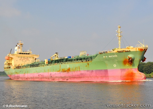
 HANYU CAMELLIA
Current Status
Where is the vessel?
HANYU CAMELLIA is currently in 26 nm NE of Mirfa, based on AIS data received about 4d ago.
Latest AIS update:
Current position: 25.68402° N, 53.90133° E (26 nm NE of Mirfa)
Average speed (last 7 days): Loading…
Average speed (last 30 days): Loading…
Vessel profile: HANYU CAMELLIA is a Oil/Chemical Tanker with dimensions m x m.
This page combines live AIS, route history, probable destination signals, nearby traffic, and port activity for practical vessel monitoring.
The current position of vessel HANYU CAMELLIA is 25.68402 lat / 53.90133 lng. Updated: 2026-05-11 04:11:54 UTCNearest reference points:
- 11 nm SW of Fateh Terminal
- 16 nm NW of Jebel Ali
- 12 nm NW of Jebel Ali
Currently sailing under the flag of Panama ![]()
Details:
Live Vessel HANYU CAMELLIA Analytics (details, animations, etc.)
Recent AIS points (UTC):
2026-05-11 04:11:54 UTC · 25.68402, 53.90133 · SOG 0.9 kn · COG 291°2026-05-11 04:11:54 UTC · 25.68402, 53.90133 · SOG 0.9 kn · COG 291°
2026-05-11 04:11:54 UTC · 25.68402, 53.90133 · SOG 0.9 kn · COG 291°
2026-05-11 04:11:54 UTC · 25.68402, 53.90133 · SOG 0.9 kn · COG 291°