 vesseltracker.com
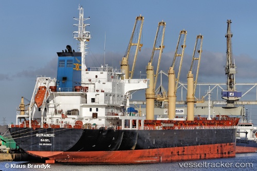
 ISKANDAR
Current Status
Where is the vessel?
ISKANDAR is currently in Near Batroûn, based on AIS data received about 1h ago.
Latest AIS update:
Current position: 34.24729° N, 35.62329° E (Near Batroûn)
Average speed (last 7 days): Loading…
Average speed (last 30 days): Loading…
Vessel profile: ISKANDAR is a Bulk Carrier with dimensions m x m.
This page combines live AIS, route history, probable destination signals, nearby traffic, and port activity for practical vessel monitoring.
The current position of vessel ISKANDAR is 34.24729 lat / 35.62329 lng. Updated: 2026-04-24 14:04:29 UTCNearest reference points:
- Near Tripoli
- Near Zouk
- Near DBAIYEH
Currently sailing under the flag of Barbados ![]()
Details:
Live Vessel ISKANDAR Analytics (details, animations, etc.)
Recent AIS points (UTC):
2026-04-24 10:41:01 UTC · 34.24785, 35.62434 · SOG 0.1 kn · COG 344°2026-04-24 11:51:53 UTC · 34.24715, 35.62323 · SOG 7.8 kn · COG 2°
2026-04-24 13:33:28 UTC · 34.24732, 35.62333 · SOG 0 kn · COG 10°
2026-04-24 14:04:29 UTC · 34.24729, 35.62329 · SOG 0 kn · COG 7°