 vesseltracker.com
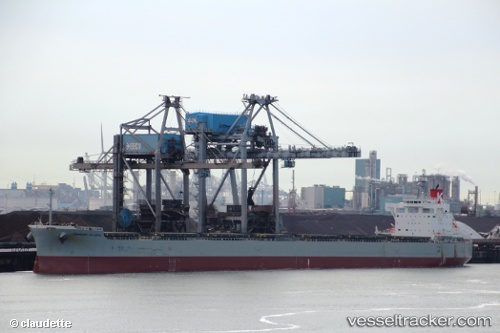
 Primrose Atlantic
Current Status
Where is the vessel?
Primrose Atlantic is currently in 24 nm SE of Kaibola, based on AIS data received less than 1h ago.
Latest AIS update:
Current position: 8.76371° S, 151.29012° E (24 nm SE of Kaibola)
Average speed (last 7 days): Loading…
Average speed (last 30 days): Loading…
Vessel profile: Primrose Atlantic is a Bulk Carrier with dimensions 229m x 32m.
This page combines live AIS, route history, probable destination signals, nearby traffic, and port activity for practical vessel monitoring.
The current position of vessel Primrose Atlantic is -8.76371 lat / 151.29012 lng. Updated: 2026-05-16 06:06:57 UTCCurrently sailing under the flag of Panama ![]()
Details:
Live Vessel Primrose Atlantic Analytics (details, animations, etc.)
Recent AIS points (UTC):
2026-05-16 02:12:33 UTC · -8.08285, 150.88506 · SOG 12.2 kn · COG 120°2026-05-16 03:45:08 UTC · -8.28167, 151.13333 · SOG 12 kn · COG -1°
2026-05-16 04:19:42 UTC · -8.39663, 151.17711 · SOG 12.8 kn · COG 163°
2026-05-16 06:06:57 UTC · -8.76371, 151.29012 · SOG 12.5 kn · COG 159°