 vesseltracker.com
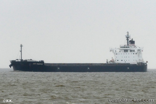
 Key Pacifico
Current Status
Where is the vessel?
Key Pacifico is currently in 38 nm NE of Tami Island, based on AIS data received less than 1h ago.
Latest AIS update:
Current position: 6.42705° S, 148.42966° E (38 nm NE of Tami Island)
Average speed (last 7 days): Loading…
Average speed (last 30 days): Loading…
Vessel profile: Key Pacifico is a Bulk Carrier with dimensions 229m x 32m.
This page combines live AIS, route history, probable destination signals, nearby traffic, and port activity for practical vessel monitoring.
The current position of vessel Key Pacifico is -6.42705 lat / 148.42966 lng. Updated: 2026-04-30 13:26:05 UTCNearest reference points:
- 42 nm E of Tami Island
- Near Lae
Currently sailing under the flag of Panama ![]()
Details:
Live Vessel Key Pacifico Analytics (details, animations, etc.)
Recent AIS points (UTC):
2026-04-30 09:44:38 UTC · -6.08316, 147.93951 · SOG 8.9 kn · COG 127°2026-04-30 10:58:15 UTC · -6.19104, 148.09377 · SOG 9.4 kn · COG 126°
2026-04-30 12:03:15 UTC · -6.29391, 148.23819 · SOG 9.8 kn · COG 126°
2026-04-30 13:26:05 UTC · -6.42705, 148.42966 · SOG 10.3 kn · COG 124°