 vesseltracker.com
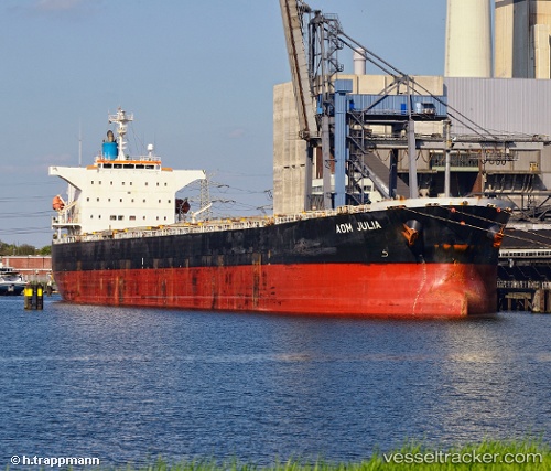
Aom Julia
Current StatusWhere is the vessel?
Aom Julia is currently in Near Ha Long, based on AIS data received about 10d ago.
Latest AIS update:
Current position: 20.88103° N, 107.06568° E (Near Ha Long)
Average speed (last 7 days): Loading…
Average speed (last 30 days): Loading…
Vessel profile: Aom Julia is a Bulk Carrier with dimensions 32m x 225m.
This page combines live AIS, route history, probable destination signals, nearby traffic, and port activity for practical vessel monitoring.
The current position of vessel Aom Julia is 20.88103 lat / 107.06568 lng. Updated: 2026-05-05 03:24:54 UTCNearest reference points:
- 14 nm SE of Nam Hai Dinh Vu Port
- 12 nm SE of Nam Hai Dinh Vu Port
- Near Nam Hai Dinh Vu Port
Details:
Live Vessel Aom Julia Analytics (details, animations, etc.)
Recent AIS points (UTC):
2026-05-05 03:24:54 UTC · 20.88103, 107.06568 · SOG 0 kn · COG 126°2026-05-05 03:24:54 UTC · 20.88103, 107.06568 · SOG 0 kn · COG 126°
2026-05-05 03:24:54 UTC · 20.88103, 107.06568 · SOG 0 kn · COG 126°
2026-05-05 03:24:54 UTC · 20.88103, 107.06568 · SOG 0 kn · COG 126°