 vesseltracker.com
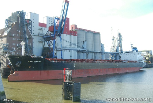
 MAREM
MAREM
Current Status
Where is the vessel?
MAREM is currently in 105 nm SW of Las Brujas, based on AIS data received less than 1h ago.
Latest AIS update:
Current position: 22.08608° N, 19.24866° W (105 nm SW of Las Brujas)
Average speed (last 7 days): Loading…
Average speed (last 30 days): Loading…
Vessel profile: MAREM is a Bulk Carrier with dimensions 30m x 180m.
This page combines live AIS, route history, probable destination signals, nearby traffic, and port activity for practical vessel monitoring.
The current position of vessel MAREM is 22.08608 lat / -19.24866 lng. Updated: 2026-04-28 07:31:41 UTCNearest reference points:
- 41 nm NW of Nouadhibou
- Near Nouadhibou
- 68 nm NW of Ad Dakhla
Currently sailing under the flag of Marshall Islands ![]()
MAREM built in 2012 year
Deadweight:
34148 tDetails:
Live Vessel MAREM Analytics (details, animations, etc.)
Recent AIS points (UTC):
2026-04-28 04:04:42 UTC · 22.68181, -18.95034 · SOG 11.7 kn · COG 207°2026-04-28 06:19:33 UTC · 22.29285, -19.14988 · SOG 11.2 kn · COG 202°
2026-04-28 07:31:41 UTC · 22.08608, -19.24866 · SOG 11.2 kn · COG 202°
2026-04-28 07:31:41 UTC · 22.08608, -19.24866 · SOG 11.2 kn · COG 202°