 vesseltracker.com
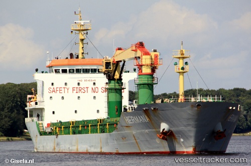
 Hermana
Current Status
Where is the vessel?
Hermana is currently in 47 nm N of USTICA, based on AIS data received less than 1h ago.
Latest AIS update:
Current position: 39.48132° N, 13.30394° E (47 nm N of USTICA)
Average speed (last 7 days): Loading…
Average speed (last 30 days): Loading…
Vessel profile: Hermana is a General Cargo Ship with dimensions 140m x 20m.
This page combines live AIS, route history, probable destination signals, nearby traffic, and port activity for practical vessel monitoring.
The current position of vessel Hermana is 39.48132 lat / 13.30394 lng. Updated: 2026-04-18 02:33:49 UTCNearest reference points:
- 16 nm S of Matera
- Near Palermo
- Near Anacapri
Currently sailing under the flag of Italy ![]()
Hermana built in 2010 year
Deadweight:
11500 tDetails:
Live Vessel Hermana Analytics (details, animations, etc.)
Recent AIS points (UTC):
2026-04-17 19:37:09 UTC · 38.89665, 14.50973 · SOG 9.5 kn · COG 301°2026-04-17 21:47:39 UTC · 39.08711, 14.13291 · SOG 9.6 kn · COG 300°
2026-04-18 00:02:29 UTC · 39.27379, 13.74427 · SOG 9.3 kn · COG 306°
2026-04-18 02:33:49 UTC · 39.48132, 13.30394 · SOG 9.7 kn · COG 303°