 vesseltracker.com
 EASTERN DELIGHT
Current Status
Where is the vessel?
EASTERN DELIGHT is currently in 53 nm N of Guiuan, based on AIS data received less than 1h ago.
Latest AIS update:
Current position: 11.91333° N, 125.69500° E (53 nm N of Guiuan)
Average speed (last 7 days): Loading…
Average speed (last 30 days): Loading…
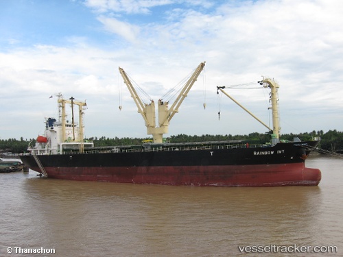
Vessel profile: EASTERN DELIGHT is a General Cargo Ship with dimensions 20m x 120m.
This page combines live AIS, route history, probable destination signals, nearby traffic, and port activity for practical vessel monitoring.
The current position of vessel EASTERN DELIGHT is 11.91333 lat / 125.69500 lng. Updated: 2026-05-14 17:35:22 UTCNearest reference points:
- Near Tacloban
- Near Hilongos
- 16 nm E of Danao
Currently sailing under the flag of Liberia ![]()
EASTERN DELIGHT built in 2011 year
Deadweight:
12286 tDetails:
Live Vessel EASTERN DELIGHT Analytics (details, animations, etc.)
Recent AIS points (UTC):
2026-05-14 14:02:21 UTC · 11.25167, 125.88333 · SOG 11 kn · COG -1°2026-05-14 15:44:20 UTC · 11.56333, 125.78667 · SOG 11 kn · COG -1°
2026-05-14 16:35:22 UTC · 11.72333, 125.74500 · SOG 11 kn · COG -1°
2026-05-14 17:35:22 UTC · 11.91333, 125.69500 · SOG 11 kn · COG -1°