 vesseltracker.com
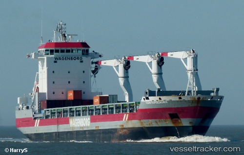
Adriaticborg
Current StatusWhere is the vessel?
Adriaticborg is currently in 17 nm NE of Pointe-aux-Outardes, based on AIS data received about 2h ago.
Latest AIS update:
Current position: 49.24927° N, 68.13357° W (17 nm NE of Pointe-aux-Outardes)
Average speed (last 7 days): Loading…
Average speed (last 30 days): Loading…
Vessel profile: Adriaticborg is a General Cargo Ship with dimensions 22m x 143m.
This page combines live AIS, route history, probable destination signals, nearby traffic, and port activity for practical vessel monitoring.
The current position of vessel Adriaticborg is 49.24927 lat / -68.13357 lng. Updated: 2026-05-13 17:20:28 UTCNearest reference points:
- 15 nm NW of Saint-Anaclet
- 22 nm N of Sainte-Anne-des-Monts
- Near Ile Aux Coudres
Details:
Live Vessel Adriaticborg Analytics (details, animations, etc.)
Recent AIS points (UTC):
2026-05-13 13:44:29 UTC · 49.24927, -68.13354 · SOG 0 kn · COG 241°2026-05-13 15:50:27 UTC · 49.24926, -68.13355 · SOG 0 kn · COG 241°
2026-05-13 16:56:28 UTC · 49.24926, -68.13355 · SOG 0 kn · COG 240°
2026-05-13 17:20:28 UTC · 49.24927, -68.13357 · SOG 0 kn · COG 240°