 vesseltracker.com
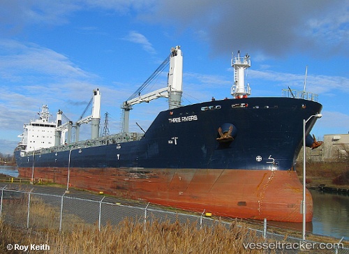
 PUNA
PUNA
Current Status
Where is the vessel?
PUNA is currently in 14 nm W of Uusikaupunki, based on AIS data received less than 1h ago.
Latest AIS update:
Current position: 60.75954° N, 20.91730° E (14 nm W of Uusikaupunki)
Average speed (last 7 days): Loading…
Average speed (last 30 days): Loading…
Vessel profile: PUNA is a Bulk Carrier with dimensions 190m x 23m.
This page combines live AIS, route history, probable destination signals, nearby traffic, and port activity for practical vessel monitoring.
The current position of vessel PUNA is 60.75954 lat / 20.91730 lng. Updated: 2026-05-17 23:07:01 UTCNearest reference points:
- Near Rouhu
- Near Finström
- Near Maarianhamina (Mariehamn)
Currently sailing under the flag of Liberia ![]()
PUNA built in 2010 year
Deadweight:
29975 tDetails:
Live Vessel PUNA Analytics (details, animations, etc.)
Recent AIS points (UTC):
2026-05-17 19:07:00 UTC · 60.75969, 20.91577 · SOG 0 kn · COG 165°2026-05-17 19:31:03 UTC · 60.75964, 20.91546 · SOG 0 kn · COG 160°
2026-05-17 21:55:02 UTC · 60.75963, 20.91670 · SOG 0 kn · COG 181°
2026-05-17 23:07:01 UTC · 60.75954, 20.91730 · SOG 0.2 kn · COG 191°