 vesseltracker.com
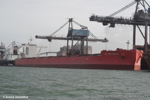
Am Port Cartier
Current StatusWhere is the vessel?
Am Port Cartier is currently in 10 nm S of ILHA GUAIBA, based on AIS data received less than 1h ago.
Latest AIS update:
Current position: 23.18283° S, 43.99703° W (10 nm S of ILHA GUAIBA)
Average speed (last 7 days): Loading…
Average speed (last 30 days): Loading…
Vessel profile: Am Port Cartier is a Bulk Carrier with dimensions 45m x 292m.
This page combines live AIS, route history, probable destination signals, nearby traffic, and port activity for practical vessel monitoring.
The current position of vessel Am Port Cartier is -23.18283 lat / -43.99703 lng. Updated: 2026-05-14 23:48:39 UTCNearest reference points:
- Near ILHA GUAIBA
- Near SANTA RITA
- Near CUNHAMBEBE
Details:
Live Vessel Am Port Cartier Analytics (details, animations, etc.)
Recent AIS points (UTC):
2026-05-14 19:45:45 UTC · -23.18309, -43.99688 · SOG 0.4 kn · COG 219°2026-05-14 21:36:41 UTC · -23.18331, -43.99660 · SOG 0.2 kn · COG 231°
2026-05-14 22:27:41 UTC · -23.18300, -43.99683 · SOG 0.1 kn · COG 220°
2026-05-14 23:48:39 UTC · -23.18283, -43.99703 · SOG 0.1 kn · COG 215°