 vesseltracker.com
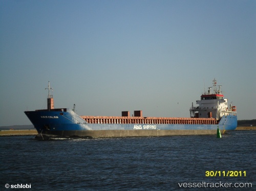
 Longvind
Current Status
Where is the vessel?
Longvind is currently in 13 nm NW of Ventspils, based on AIS data received less than 1h ago.
Latest AIS update:
Current position: 57.58831° N, 21.33919° E (13 nm NW of Ventspils)
Average speed (last 7 days): Loading…
Average speed (last 30 days): Loading…
Vessel profile: Longvind is a General Cargo Ship with dimensions 115m x 15m.
This page combines live AIS, route history, probable destination signals, nearby traffic, and port activity for practical vessel monitoring.
The current position of vessel Longvind is 57.58831 lat / 21.33919 lng. Updated: 2026-05-13 19:12:16 UTCNearest reference points:
- 11 nm N of Ventspils
- Near Ventspils
- 18 nm N of Ventspils
Currently sailing under the flag of Netherlands ![]()
Longvind built in 2011 year
Deadweight:
6050 tDetails:
Live Vessel Longvind Analytics (details, animations, etc.)
Recent AIS points (UTC):
2026-05-13 16:25:28 UTC · 57.72944, 22.14491 · SOG 10.3 kn · COG 242°2026-05-13 17:08:43 UTC · 57.67881, 21.93840 · SOG 9.7 kn · COG 266°
2026-05-13 18:17:43 UTC · 57.65289, 21.59541 · SOG 9.7 kn · COG 245°
2026-05-13 19:12:16 UTC · 57.58831, 21.33919 · SOG 10.2 kn · COG 244°