 vesseltracker.com
 MARINE MOON
Current Status
Where is the vessel?
MARINE MOON is currently in Near Gamcheon/Busan, based on AIS data received less than 1h ago.
Latest AIS update:
Current position: 34.96166° N, 129.05209° E (Near Gamcheon/Busan)
Average speed (last 7 days): Loading…
Average speed (last 30 days): Loading…
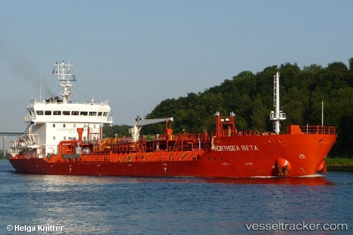
Vessel profile: MARINE MOON is a Chemical/Oil Products Tanker with dimensions 19m x 110m.
This page combines live AIS, route history, probable destination signals, nearby traffic, and port activity for practical vessel monitoring.
The current position of vessel MARINE MOON is 34.96166 lat / 129.05209 lng. Updated: 2026-05-15 14:26:58 UTCNearest reference points:
- Near Gamcheon/Busan
- Near Busan
- 15 nm E of OKPO
Currently sailing under the flag of Panama ![]()
MARINE MOON built in 2010 year
Deadweight:
8647 tDetails:
Live Vessel MARINE MOON Analytics (details, animations, etc.)
Recent AIS points (UTC):
2026-05-15 10:23:28 UTC · 34.93427, 129.11063 · SOG 0.7 kn · COG 158°2026-05-15 12:09:49 UTC · 34.94383, 129.07228 · SOG 5.7 kn · COG 335°
2026-05-15 13:30:09 UTC · 34.94602, 129.06146 · SOG 5.1 kn · COG 216°
2026-05-15 14:26:58 UTC · 34.96166, 129.05209 · SOG 1.3 kn · COG 308°